The Scenic Rim Trail is a 45-kilometre trekking route through the rugged northern mountains of Main Range National Park. It was completed through a partnership between the Queensland Government and Spicers (tourism operator). Main Range NP boasts spectacular mountains and escarpments with incomparable panorama, cascading rainforest creeks and hidden valleys. I’ll leave the talking to the pictures… oh, but I have to get my two bobs worth in - I'll add some captions.

The start of the trail in Thornton View off Main Camp Creek Road.

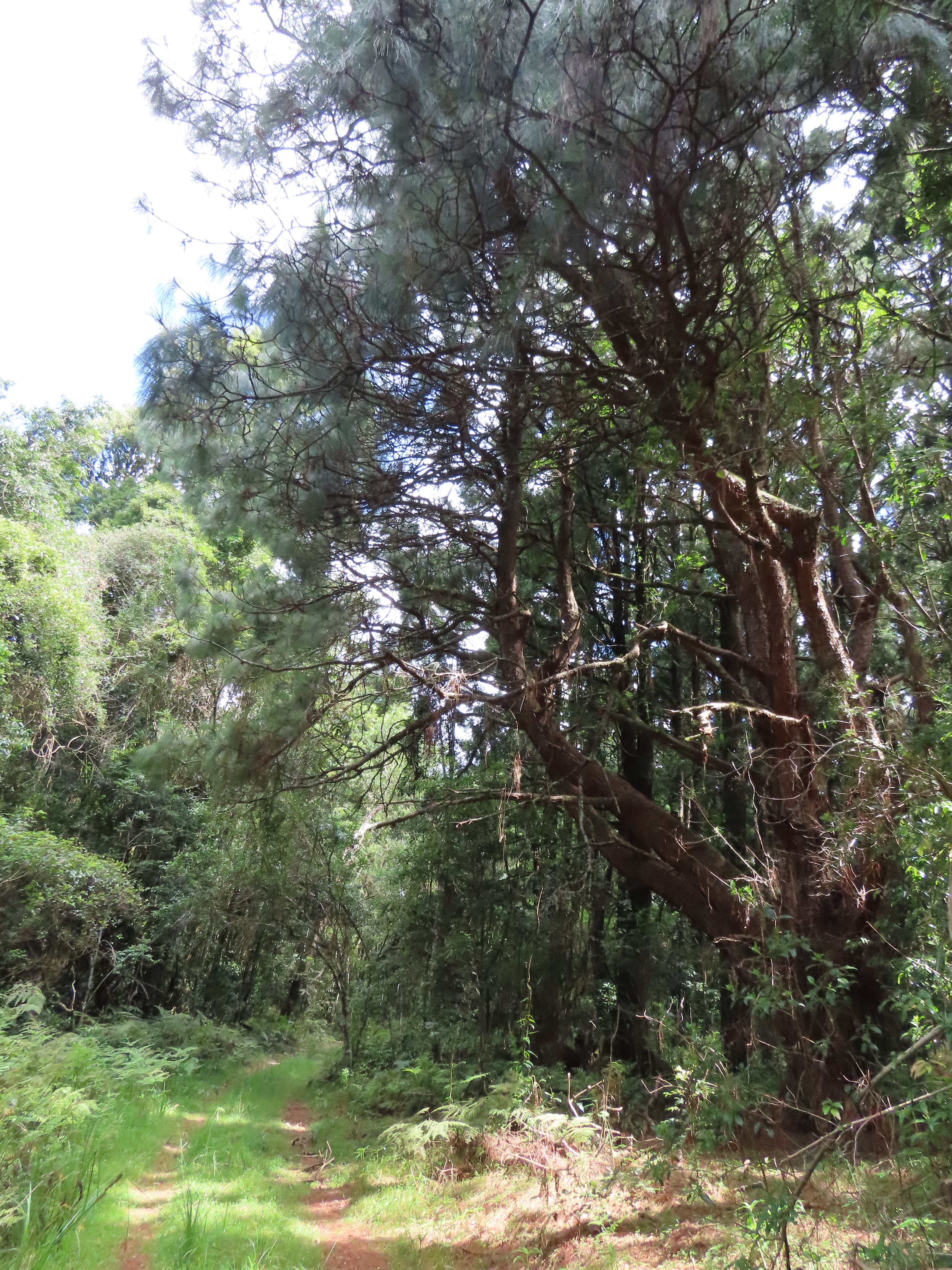
About 4km in, and approaching the northern end of Main Range on the Mistake Mountains at Thornton View Reserve. The abrupt change in altitude also brings sudden changes to the landscape - in topography, soil type and vegetation. In harmony with the change in altitude, I also changed my attitude from not quite liking the climb, to savouring the pleasant cooler clime. The first 5km section of the trail is a real work out with a 500m gain in elevation

On the first high peak at 7Km. But who's counting the K's?
You cannot count the miles until you feel them.
(Kilometre marks Km or Kilometre Points KP are approximate only, and based on a direct thru-hike. Cumulative distance does not include camping trails and other side trails)

And a first sight of Mount Mistake.

KP07. Looking southwards.

Tree ferns are a welcome sight and sign of the approaching rainforests.

KP09. Sunrise Lookout near a walkers camp offers great views of the Laidley Valley and Main Camp Creek (above), and Mount Mistake (below).


KP10 Portal to the rainforests of the Mistake
Mountains.


First view of Mount Castle.

The hike takes one deep into the lush
rainforests on mountain tops along the edges of the escarpment all the way to
Cunninghams Gap between Mount Cordeaux and Mount Mitchell.


KP17. The Winder at the south end of Winder Track

The Winder Track is an old logging track used
to harvest the towering forest giants.


Mt Castle opposite the second walkers camp.

Approaching Lookout Road at the start of the Winder Track. Here the fun begins.
The Scenic Rim Trail is classed as a Grade 5 trail, a primarily moderate to difficult and hazardous trail with steep, slippery and rough surfaces, unmarked and unmaintained parts. This is especially evident in most of the 15-kilometre section from Mt Castle Lookout through to Bare Rock.

KP25. From a spot between Mt Castle Lookout and Sylvesters Lookout.
Looking south to some of the southern peaks of Main Range National Park.

I think I see my friend Sylvester at the lookout (one-third up-and-left from bottom right).

Sylvesters Lookout. Sylvester had gone by the time I arrived here.

A scrubwren's nest is a suspended tangle of twigs, leaves vines and moss. Scrubwrens are just some of the 282 bird species found on Main Range National Park. I will be posting a separate blog of some birds I encountered on my travels and travails here.

Dalrymple Creek.

There was barely a trickle on Cascades Falls when I passed through.


KP30. Track Junction at Cascades Trail and Ridge Trail. From this point to Bare Rock, the trail goes through some of the most beautiful and least visited rainforest areas. It’s also very hazardous.


The lush shady canopy of these ancient
rainforests include towering Cedar and Hoop and other tree species. These are
amongst the remaining few large trees that have survived.

The trail sometimes goes around buttress roots and twisting vines, boulders and side slopes.

Then there's the rock hopping or scrambling across the tricky, slippery, trickling or flowing streams.


KP35. Eastern Window looking out over the Fassifern Valley. This is a rare lookout spot on the escarpment section between Sylvesters Lookout and Bare Rock.


KP38 Bare Rock.
This journey is not just measured in kilometres. It is also a pilgrimage to ancient times measured in millions of years. This close-up view below is a treat - of the retreating Main Range escarpment. This landform below has been retreating for some 20 million years - if my memory serves me well. Looking north to 'The Ramparts' from Bare Rock. Mt Castle at far right.
 Looking north to 'The Ramparts' from Bare Rock. Mt Castle at far right.
Looking south from Bare Rock. Mt Mitchell and Spicers Peak at far left (above and below photos).


Side trail to Morgans Lookout.

From Morgans Lookout looking north.

Hole-in-the wall and Mount Castle.

Mt Cordeaux track.

Here the rainforest canopy yields to eucalypt woodland and montane heathland with grasstrees, banksias and giant spear lilies hugging the impressive sides and peak of Mount Cordeaux.

Mount Cordeaux at 42km. Hey, that's a marathon distance!
Yes, that is quite a few miles from the start in Thornton. No wonder my heels are feeling them.


Scarring the side of Mount Mitchell, the Cunningham Highway marks the hike's end at Cunninghams Gap.

Looking yonder and beyond. More hiking destinations: the Moogerah Peaks and Mount Barney.
Scenic Rim Trail track notes (Various information sources- online or on a park sign, provide guidance and pointers about hiking this trail):
- This trail is recommended for suitably fit and experienced, well-equipped and self-sufficient hikers only. This hike requires more than basic skills in map reading, navigation and first aid. Walkers should plan for exposure to the elements and changes in the weather.
- Hike in small groups of two to four. Do not venture out there on your own.
- Some sections are very steep and you need to take care. Take your time. The trail is not easy to follow in places and you can get sidetracked or lost. The rainforests can be a tangle of roots, vines and prickly plants. Other large sections of the trail may be overgrown; and fallen trees, loose rocks, creeks and slippery surfaces pose clear and ever-present hazards. Caution is needed near cliff edges and naturally occurring lookouts - one misstep may be your last step. As the brochures say - one slip could be fatal!
- Rainy weather can also make navigation difficult. Storms cause trees and branches to fall and block the trail. During rain, the track gets wet and muddy and the going gets rougher and slower. A quiet mountain stream normally just trickling, can suddenly become a rushing deep channel.
- It is recommended to take up to four days to complete the 45km Scenic Rim Trail (I have heard of at least one hiker who did the route in just under eight hours. He or she is probably one of those incredible trail runners who could have gone way quicker - say six hours, if they really tried). On the SRT, speed is not of the essence. I did a bit of research and speed is not on any checklist! What is essential in any exploration is forward progress. If you’re going too quickly, you’ll miss out on the many wonderful features of this truly unique Australian world heritage area. There are panoramas, trachyte landforms, trees, vegetation, wildlife and birdlife that are seen or found only in Main Range north. If you’re rushing you might not see the bear on Bare Rock. I had planned to take eight hours, I mean eight days to do this trek, but work would not allow it, so I took four days (I could have stayed 40).
