
Rockhampton Regional Council was formed in
2008 by the amalgamation of smaller municipalities.


Discoveries in the 1860s of several minerals in the area led to settlement in the Fitzroy River where Rockhampton was founded.


40 years before the North Coast line, Rockhampton had its own railway. It had lines built inland as far
west as Blackwater, and to the far south through Mount Morgan to Theodore.
 There were also lines to the beaches in Emu Park and Yeppoon. A short line connected the North Coast railway to Port Alma. This substantial railway network and locomotive workshops made Rockhampton an important employment centre.


A short distance to the south-west of
Rockhampton, Gracemere is an agricultural and saleyard centre. Its population
was boosted in the 1980s with the Stanwell power station.

Mount Morgan is a town that flourished from mining rather
than the traditional cattle industry.

With a median age of 44 years, it has the oldest demographic in the
region.

Just a few months back I walked miles for a camel... well I went to see a camel.
 Now I was made welcome to Marlborough country.
Back in the day... Oh well, the times they are a-changing.

Back in the day... Oh well, the times they are a-changing.


The times have changed indeed.
Once upon a time you'd load your old house on a truck.
 These days you put your old truck on your house.
Once upon a time you'd load your old house on a truck.


Feral deer on the edge of bushland.


There are some minor mountain ranges around Rocky.


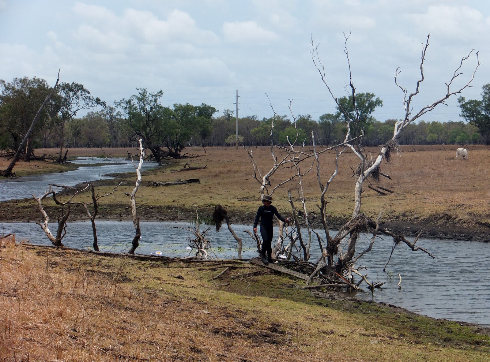
Some rivers.
There's also a few creeks.


And a hill or two.


Sunrise from atop Mt Archer paints the sky red.