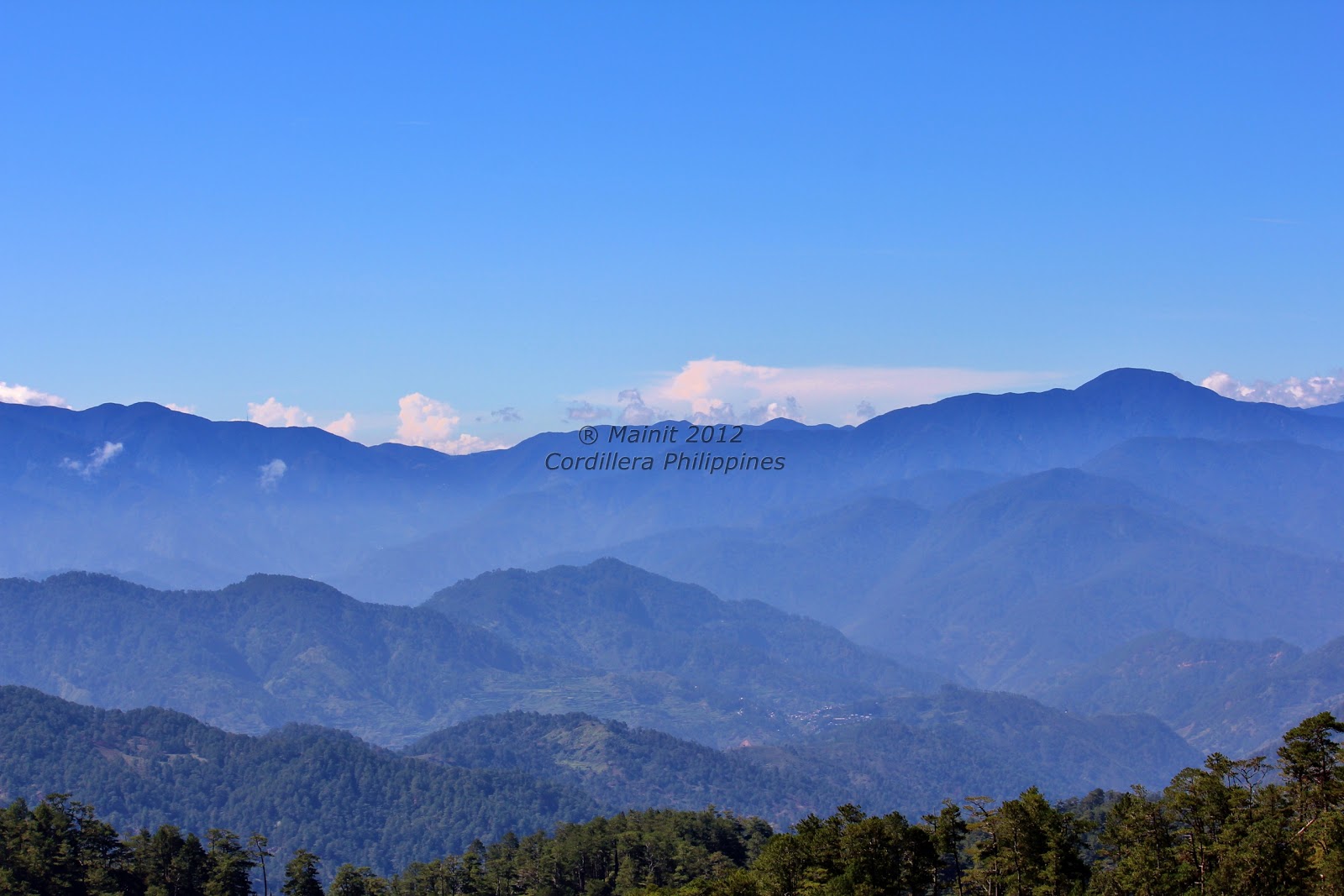
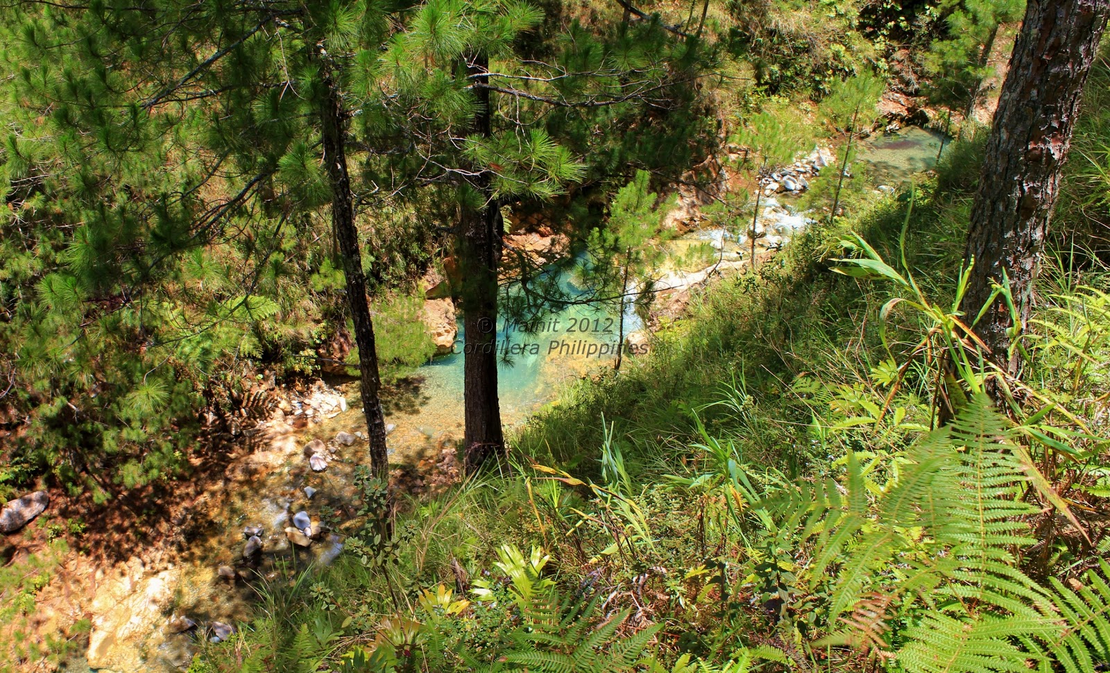
How great would be the desire in every admirer of nature to behold, if such were possible, the scenery of another planet! – Charles Darwin (1809-1882).
That possibility is getting towards probability but is still a ways off, maybe in a couple of lifetimes. So for the time being let's look at and look after our own planet. When we do look and really see what we've got, we treasure it more.
The scenery of the Cordillera mountains is second to none, and I retreat to my mountain home every few years. I feel I have to. The world is one’s oyster and one must seize the day, but to paraphrase a travel writer:
There is a powerful solace in mountains. They challenge our notion that the world was made for us. Mountains induce a modesty in us.
A distant mountain appears to hold mysteries.

But when you climb a mountain, you solve a mystery.

Looking east over Ifugao from Mt Polis at sunrise in summertime.

I roamed and rambled in Ifugao in years past.

An added adornment to the mountains is the green ricefields. This photo from Barlig exhibits a good balance of forest and field, sustaining the environment.

Roads have long reached the high mountains. All that's required perhaps is a little better engineering management, to counter erosion and scarring of the mountainsides.

Natonin kids at play under the watchful silhouette of the range.
The mountains are rugged and rough and inhospitable.
Yes all that and more, but it is home.

Departing town I looked back to the high mountains. The mountains waved at me.
They seemed to say 'come again' as I descended to the lower hills in Paracelis below.
They seemed to say 'come again' as I descended to the lower hills in Paracelis below.


The mountains of Kalinga.
Above photo is looking at Mt Binuluan from the Lubuagan side.
Below is the Pasil River valley


The mountains too provide other resources, such as tiger grass, that supplement the family income.

The mountain range across the Pasil River opposite Mt Binuluan.
Beyond this range, to the north, is Apayao.
My budget did not cover the double A provinces (Apayao and Abra) but will visit them someday.

To the south, the profile of 'Sleeping Beauty' in Tinglayan, overlooking Lubuagan.
This continued on the mountain trail through Mountain Province and into Benguet.

Southerly I ventured to the high peaks of Tuba: Mt Kabuyao and Mt Sto Tomas.

I also toured the jungles of Baguio and La Trinidad - from a safe distance.


I escaped from the big smoke, and went to the Applaicha Mountains. Mt Tinangdanan in Besao.
The average height of the Appalachian Mountains in North America (abt 1000m) falls just short of the average height of the mountains here in Applai land (ave abt 1500-1600m).
But that's like comparing apples to gayunan, or ponkan.

Besao and Mt Mogao.
After bolakboling (invadfajoy) for days, I made it back to my father's house with just the shirt on my back. My finances had ran out rambling through the highlands, but I had unfinished business. And if I had to, I would walk through the high uplands without no shoes. My clothes are smeared and stained but the open road was waiting. So I found my cleanest dirty shirt, and put on my thirsty boots - I could not stay for a while.

For the Mainit mountains beckoned.

The original camp aguinaldo. Mt Bandilaan (originally called Mengmeng) in Mainit. This may or may not be the spot where Aguinaldo encamped while escaping from the Americans back in 1899-1900. However Aguinaldo did plant the Filipino flag here on this mountaintop in defiance of the pursuing americans. Since then, the I-Mainit have called this mountain Bandilaan.
But historical tidbits aside, Mt Bandilaan and its near neighbour Mt Paras, offer the perfect spot for a tour of the Cordillera mountains. From these two peaks, one can pretty much complete a 360-degree tour of the significant mountains in the Cordillera.

Bandilaan (Mt Mengmeng) as seen from Mt Paras.
Kamingminger/ Camingmingel (Mt Kaman-ingel) in Besao is shrouded in clouds at left.

On the south are the hills of Bangnen at bottom and Mt Singakalsa in Atok in the far background.
These frame the barely visible and nearly dry Inudey falls flowing down from Mt Data.

Zooming out - Mt Data with a tiny puff of cloud cover, is at far left of picture.
Singakalsa and Inudey in the middle.

To the east, middle of the far range is the Mt Polis gap.
In the middle range is Kamanvatin (above Chakkang) in Mainit/Guina-ang, and Mt Pokis (Bontoc).
Mt Patoc (towards Maligcong) is just off the picture.
At bottom of picture, the near range is Mt Amungao in Mainit,
and climbing north (to left of picture) through Poklis to the peaks in Serkan and Tongil.

The high vantage points beyond Poklis at the edge of the Mainit wilderness - Ilit,
provide more sweeping views. Guina-ang is more visible.


The magical Lake Livo-o, and Mt Kalawitan in Sabangan.

Mt Amuyao in Barlig.


Amuyao above.
Words are very inadequate to describe the wonders of the mountains.
Kalawitan below.


Again words fail...

But this is a far sight better view of Kalawitan from Bandilaan,
than the near site view from the Halsema dalan.

Views to the western Mainit mountain range towards Abra.
Looking in the direction of Baklingayan in Tubo beyond the range are Mainit nameplaces:
Pangor-osan, Sanangena, Amvanggao, Nakanga etcetera.

Tinmovo and U-uwayan above are in the catchment of the headwaters of the Pasil river.
The river flows north to Kalinga behind the near mountain below.


Looking north towards Pinasek and beyond to Kalinga and peeking at Alchan (Mt Alchanon).

From the Maligcong-Guina-ang trail: Mt Pokis with Kalawitan near top-left at rear.

From atop Mt Pokis between Bontoc and Guina-ang and overlooking Tetep-an Killong and Antadao.
In the background is Mt Ampacao in Sagada, and Mt Mogao in Besao.

Here's a familiar sight on the main highway in Pampanga. It was night-time when my bus drove past,
so the next morning, on the flight out to a distant land to earn a living, I organised a fly past with the pilot.
Mountains are not for satisfying ambition. They’re for rebirth and reinvigoration. Anatoli Boukreev (paraphrasing mine).